 |
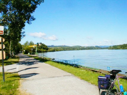
On
the Donauradweg (Danube Bike Path) approaching Tulln
in Lower Austria. Although it doesn't look like it here,
the Donauradweg is the Autobahn or Interstate Highway of bike
paths. The only place you will find more cyclists in the US is at
organized rides like RAGBRAI or GOBA. You'll see fully loaded
tourists, roadies, day trippers, club riders heading to a radlertreff
(literally "bicyclist's meeting place" - actually a snack
bar or restaurant along a bike path), and little old ladies going to
the store.(2004) |
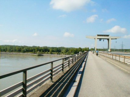
| Donauradweg
crossing the Danube on a hydro-electric power plant near Steyregg in
Upper Austria. For most of the way in Austria, the Danube has paved
bike paths on both sides of the river. Periodically, you can
switch sides via power plant dams like this, bike ferries, and regular
bridges. (2004) |
 |
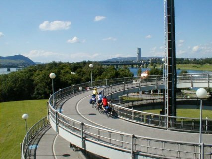 |
Transitioning from the Donauradweg to
a bridge across the Danube in Vienna. (2004) |
|
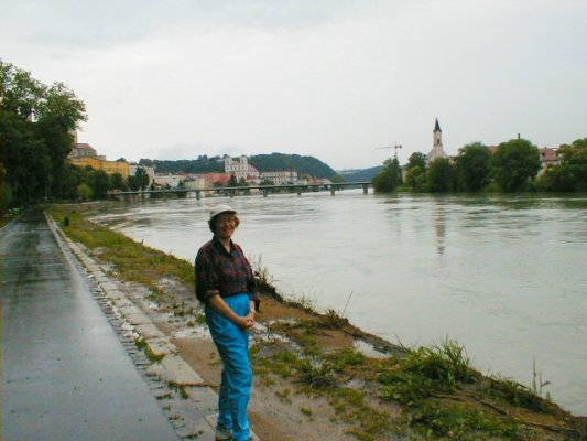
Innradweg (Inn River Bike Path) at Passau,
Germany. The Innradweg follows the course of the Inn River which
begins by flowing southeastward from the St. Moritz area of
Switzerland, flows eastward through the Tyrol province of Austria,
turns north into Germany at Kufstein, turns east again until meeting
the Austrian border again at the confluence of the Salzach River north
of Salzburg, and finally turns north again until empting into the
Danube at Passau. The confluence with the Danube is just around
the corner in this picture. (2004).
|
 |
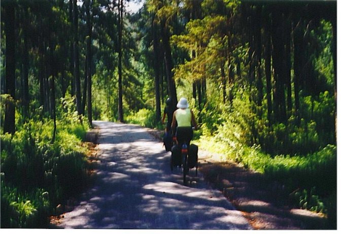 |
High
above the Inn near Karas in Tyrol. Most of the rivers in Austria,
along which bike routes are found, begin high in the Alps and drop
dramatically for a short distance. Then they flow through a
relatively high, flat, approximately mile wide valley that can
accommodate railroad, highway, and bike path. But sooner or
latter, it enters a gorge that forces the bike route high above the
valley floor. Not long afterwards, the valley opens up
again and the bike path drops back down; but there are still
mountains on both sides. Gradually, the mountains become smaller
and farther away, until you find yourself riding along a very flat
levee.
Here we have just made a short, steep
climb. After rolling through the forest for about 8 miles, we had
a long gradual downhill back to the Inn and the next picture. (2001)
|
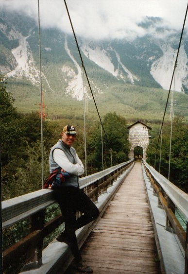
| Bike
bridge over the Inn River along the Innradweg near Ötztal
Bahnhof in western Tyrol. (2003) |
 |
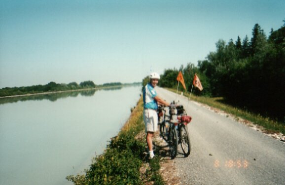 |
On
the levee along the Innradweg in Bavaria, Germany, just
north of the Austrian border at Kuftstein. The first time in two
weeks our view didn't have high mountains in the background. (2001) |
|
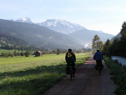
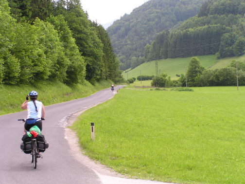
Early morning along the Ennsradweg (Enns Bike Path) east of Radstadt in Salzburg Province. The Ennsradweg follows the Enns River which begins in
the Alps just south of Flachau in Salzburg province, flows eastward
through northern Steiermark, turns north and forms the boundary between
Upper and Lower Austria, and eventually flows into the Danube at the
city of Enns. The Dachstein Alps are seen
in the background (2000, 2003)
|
 |
 |
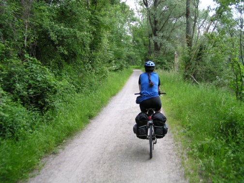
Along
the Ybbstalradweg (Ybbs Valley Bike Route). It follows the
Ybbs river which makes a wide arc from Lunz am See, through the
Alpine foothills to the Danube. Despite the fact that it
runs from the Alps to the Danube, the elevation change going upstream
was almost imperceptible. (2004) |
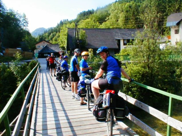
| Crossing the Ybbs River on
the Ybbstalradweg near Göstling an der Ybbs in Lower
Austria.(2004) |
 |
 |
Issarradweg
near Freising, Germany. The Issarradweg follows the
Issar River from the Bavarian Alps via Munich to the Danube at
Plattling. (2004) |
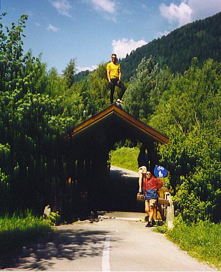
| Along the Drauradweg
(Drau Bike Path) in Südtirol (South Tyrol), the German speaking section
of Italy. The Drauradweg begins in Italy and runs through the
Austrian provinces of East Tyrol and Kärten (Carinthia) to the
Slovenian border. (1999) |
 |
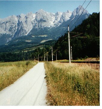 |
Tauernradweg
- along the Salzach River south of Salzburg near
Bishofshofen. The Tauerenradweg runs from the Kriml waterfall at
the source of the Salzach River, past Salzburg, to Passau, where it
connects with the Donauradweg. (2000) |
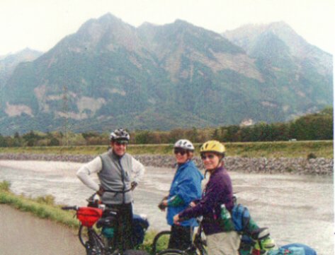
| Rheintalradweg (Rhine
Valley Bike Path) on the Swiss side looking toward
Lichtenstein. The principality of Lichtenstein is about 20 miles
long and 5 miles wide. The western half, which is along the
Rhine, is flat with nice bike routes. I didn't try the other
half. (2003) |
 |
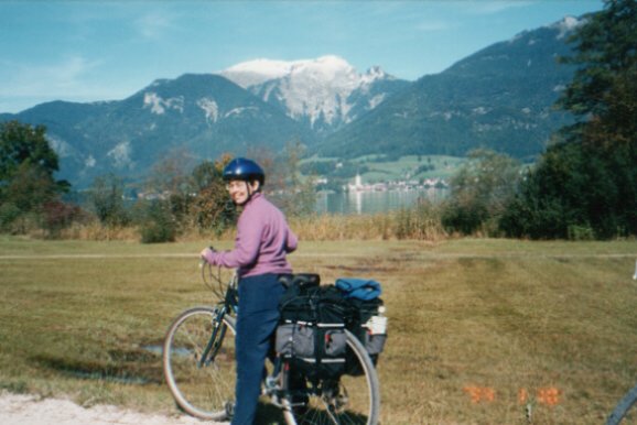 |
Salzkammergut
Radweg - looking across Wolfgangsee (lake) to St. Wolfgang.
The Salzkammergut Radweg is a network of bike paths and country roads
connecting many of the lakes in the Salzkammergut region east of
Salzburg. (2002) |
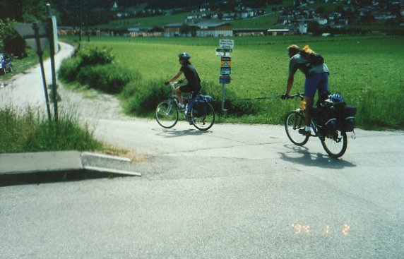
| Zillertalradweg (Ziller
Valley Bike Path) south of the Inn in Tyrol. The lead bike is
towing the rear bike because the latter's chain is kaputt.
(2001) |
 |
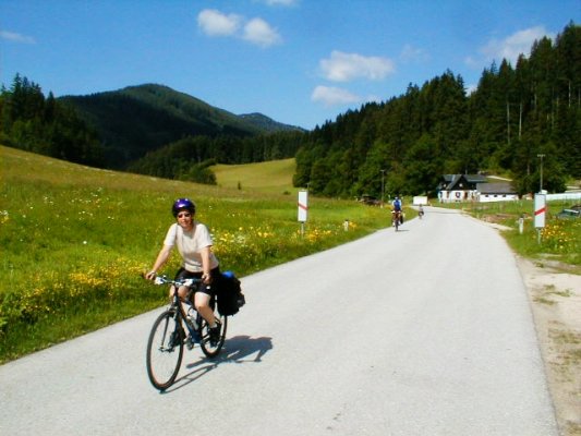 |
Passing
through Pfaffenschlag on the Ötscherlandweg at the high point
between the Ybbs and Erlauf river valleys in Lower Austria. (2004) |
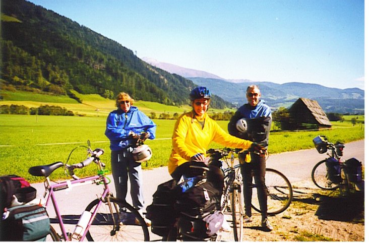
| Murradweg
- along the Mur River in the Lungau district of Salzburg
Province. The Murradweg runs from the Stickler Hütte (an Alpine
hut) near the source of the Mur River in the Lungau region of Salzburg
province, past Leoben and Graz, the capital of Steiermark, to Bad
Radkersburg in the far southeast corner of the country on the Slovenian
border. (2002) |
 |
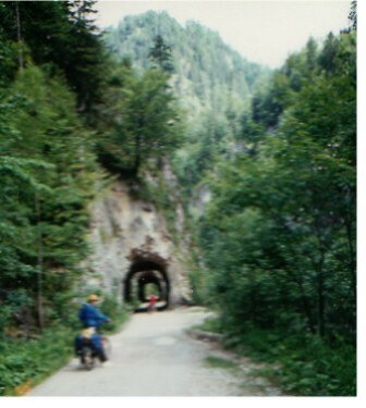 |
In the Reichramminger Hintergeberge
(a mountain range) in Upper Austria. The
bike path was formerly a logging railroad and has 20 tunnels in 11
miles. Several long ones were illuminated by motion sensitive, solar
powered lights. (2000)
|
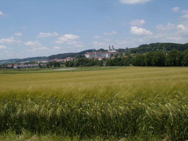
| St. Florian Radweg on a side road near St. Florian in
Upper Austria. Town of St. Florian and St. Florian Augustinian
Monastery are in background.
This view demonstrates the difference
between Austria and the US. There you have town, farms, town,
farms, etc. Here you have town, franchise road town, ugly
tin shed and cinder block businesses, McMansions, trailer homes,
junk yards, farms, ugly tin shed and cinder block
businesses, McMansions, trailer homes, junk yards, franchise road
town, town, etc. (2004)
|
|
|
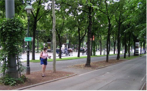
Bike and
pedestrian paths along the Ringstraße, boulevard circling the
medieval section of the city of Vienna. (2004)
|


